


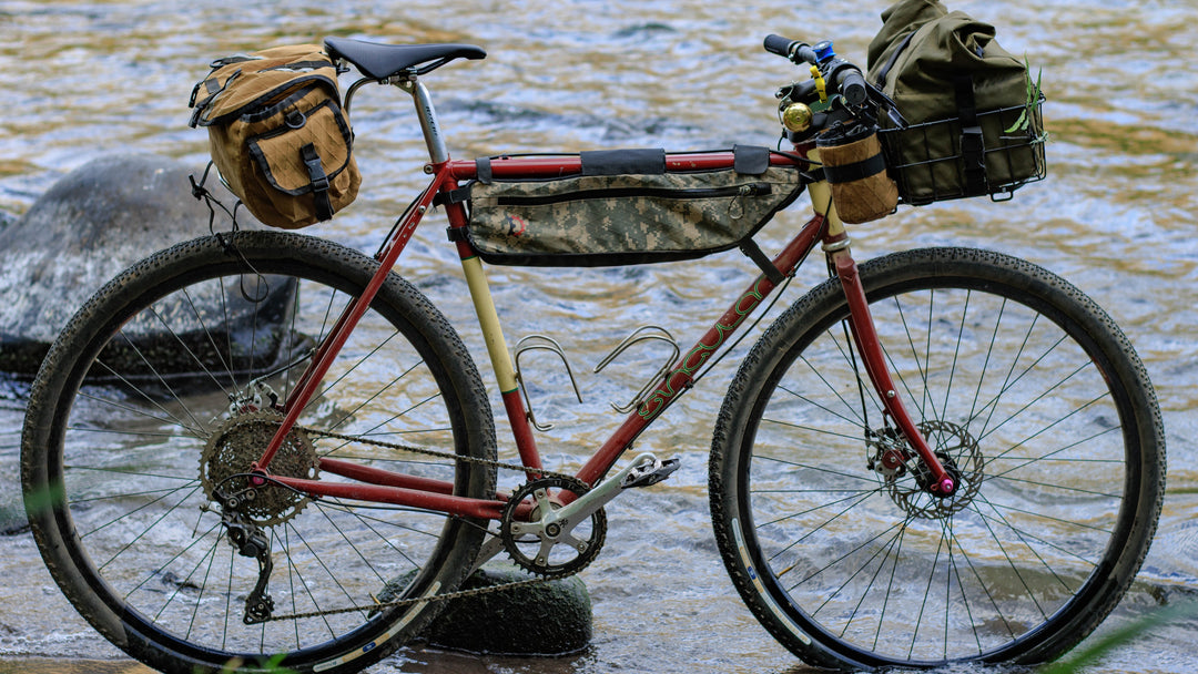
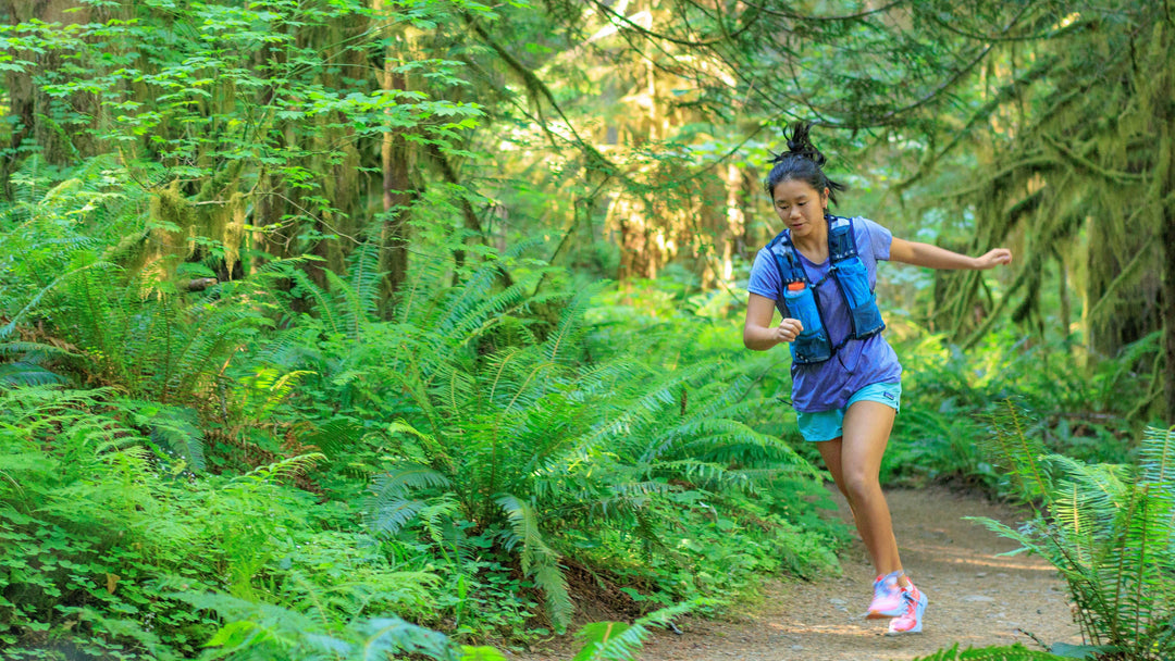
Basic Navigation With A Map And Compass

Navigating when outdoors is pretty much a necessity to avoid getting lost, even if you are on clearly marked trails; we all have stories about walking/cycling/running on a clear route just to get distracted and end up on the wrong path. Venturing beyond the beaten path requires you to know navigation, and despite the simplicity of GPS based devices nothing beats knowing to navigate with a compass and map. Here I want to cover the basics of good map and compass skills such as:
- Orienting a compass and a map
- Using an azimuth (and bearing)
- Finding your direction of travel
- Pinpointing your location
The most important part of using a map and compass is to use them – there is no point of learning the theory and not implementing it. Get a compass and a topo map of your area so you can practice as you go through this post, it will give you more confidence when actually outdoors.

What is navigation?
The best way to define it is to consult a dictionary as they tend to be to the point – from Oxford Dictionary:
Navigation – The process or activity of accurately ascertaining one’s position and planning and following a route.
To navigate means to know where you are (so, not be lost) while knowing where you are going. It is not accidental that the definition has two parts and we will look into both of them separately, but first we will need to define a few important tools.

Bearings
Bearings often are confused with azimuths (see below). Bearings are always used within a quadrant and are never bigger than 90°. A bearing is represented by its north/south reference, the angle from the the east or west line and
the east/west reference, ie: N20°E. This example is in the north-east quadrant, 20 degrees north of the eastern line. This is a tricky one but a bearing is always the relationship between the north-south line and the east-west line.

Azimuths
Azimuths are the angle between the north/south line, and an imaginary line between you and an object/location you are headed for. The important thing to understand about azimuths is that azimuths are measured in angles. Those angles are always measured clockwise starting at 0° up to 359(.999…)°.
Bearing vs Azimuth
To add to the confusion, azimuths are very often called bearings (I make the mistake too!) and most of the time when we are “taking a bearing” we are actually taking an azimuth. To make it simpler, lets see how both of those behave using a simple graph to our right >>
I guess you are getting the point by now. When seen visually it makes a lot more sense than those random words about angles, quadrants and reference points.
Navigate with a compass and map
When we navigate with a compass and map we utilize the compass’ ability to show the north and offer an azimuth with the ability to “pin point” specific features and objects on the map. To use them together effectively we need make sure they are properly aligned so the our map is oriented with the north.

Orienting a map
The problem with orienting a map to point to the north is that in reality we have 3 norths: magnetic (true) north, geographical north and grid north. The distortion between the norths is called a declination and it can be corrected to compensate for it. So how do you properly orient your map?
- Check the declination on your map (should be at the bottom of the legend next to the scale), make sure you understand what the needed correction is (is it an east or west correction and how much), if it is an east correction you need to add the degrees and if it a west correction you need to subtract.
- Place your compass in your hand, but make sure there are no metallic/magnetic objects nearby (a watch, pocket knife etc) and you are away from rail roads or any other big metallic objects.
- Rotate the azimuth dial until the orienting arrow is aligned with the DOT arrow.
- Rotate the azimuth dial for the declination correction (+/-degrees).
- Rotate the whole compass (with yourself if you are holding the compass) until the needle “fits” into the orienting arrow.
- Place the compass on the map and rotate the map until the orienting lines are aligned with the map grid.

That is it, the map is now oriented. I know it looks like a tedious and long process but with practice it takes seconds to do and no thinking at all (just memorize the declination in the area you are in).
Using azimuth to finding direction
We described what an azimuth is, but how do we use it? Azimuth is the angle that is created between the north base line and an imaginary line between your location and a clear object (a peak or a saddle). So in order to take an azimuth we need use the map and compass in conjunction. Here are some step by step instructions:
Finding an azimuth to follow
The idea here is to get an azimuth from the map so we can follow it while walking to an easily defined waypoint.
- Set the map on a flat surface (non metallic!)
- Find the next point of your route on the map (a peak, a saddle, a clear structure etc)
- Put the compass on the map so that one corner of the base plate is on your current location
- Rotate the compass base plate so that the DOT arrow is pointing towards your destination (the waypoint)
- Read the angle that is marked by the index line – that is the grid north azimuth
- Correct for declination (add/subtract the correct degrees)

Following your azimuth
After finding your azimuth, you will need to follow the angle. The best way is to find, in real life, the object you pinpointed on the map to get the azimuth and just head towards it.
- Place the compass flat in you hand (and away from all metals) so you can look at it at roughly a 45° down angle
- Make sure the needle is fitted in the orienting arrow
- Keep your head steady and just move your eyes from the compass to the object until you are sure you have located the right one
- Put the compass away and start walking (or use any other means of movement)
Checkpoints and other methods to follow an azimuth
Sometimes it will be difficult to follow your azimuth due to limited visibility, obstacles on the way or if you are going a great distance. To help with this, it is useful to pick checkpoints. Checkpoints are used to break the journey into legs that can be easy to recognize; aim for a checkpoint every 1km or so to be able locate it easily.
If you have an obstacle in your way, such as a body of water, dense vegetation or cliffs, go back to your map and plan a route around it that uses 90° changes:
- Stay on your azimuth until you reach your obstacle
- Turn 90° (using your compass) and walk a set distance to go around the obstacle (point C)
- Turn 90° again towards your original azimuth (point D)
- Cover the length of the obstacle and turn 90° again (point E)
- Walk back the same distance you have covered previously to go around the obstacle until you are back on your original azimuth
- Take another 90° turn to resume your original DOT (point F)

- Azimuth line is blocked by a lake


- Creating checkpoints around the lake

In poor visibility you can use the spiral search method so you don’t miss your target location when conditions mean you can’t see very far: walk in a 90° spiral so each time you increase the distance covered based on your visibility conditions (see image): start by picking an object at the edge of your visibility. Walk to this place while pacing yourself so you know how far that distance is, turn 90° and walk twice the length of that distance, turn again and walk three times the distance, and so on. By using this method you will be able to see the whole area that you cover and not miss your target.
Pinpointing your location
Pinpointing your location is probably the most important thing when we are outdoors in a place we don’t know. Our tendency to “bend the map” and force our environment into the wrong mental maps is the main reason we get lost outdoors. If you have a map and compass there are a few simple ways to find your location:
Back azimuth
If you are in a place that you see an easily recognizable feature (you must be 100% sure about it), you can find your location using a back azimuth (the angle between north/south and the imaginary line from your target object to you):
- Find your favourite object
- Set the compass so that the DOT arrow points to the object
- Fit the needle into the orienting arrow
- Read the azimuth set by the indexing line
- Correct for declination (from magnetic north to grid north)
- Find the object on the map
- Orient the map
- Calculate the back azimuth
- If the azimuth is greater than 180° (such as 215°), deduct 180° from it (215°-180°=35°) to find your back azimuth
- If the azimuth is less than 180° (such as 68°), add 180° to it (68°+180°=248°) to find the back azimuth
- Place one of the back corners on the object you choose
- Set the back azimuth so it is on the indexing line
- Rotate the compass until the needle is in the indexing arrow
- The base plate’s ruler will lead you to your location on the trail

- Find your object – point A is easily seen from the trail

- Get an azimuth from the object and rely it on the map

- Location found: meeting point of azimuth line and trail
Triangulation
Triangulation is the advanced version of back azimuth as it is more accurate and promises a more precise pinpoint to your location. The process is simple and only adds a little more to the back azimuth:
- Find 3 (or more) objects around, this time 95% certainty is enough, and get a back azimuth from each.
- When marking them on the map, draw a line with a pencil along the base plate ruler.
- Your location is the meeting point of all three (or more) lines.

Slope aspect
Another method to find your location is to get a reading of slopes around you and use them to pinpoint your location. To do so you need to know roughly (the grid square) where you are.
- Find a slope near your location.
- Stand facing the slope so that you are 90° to the grid lines (you will need to use your imagination here).
- Get the azimuth of the slope.
- Find a slope in your grid square that matches that slope.
- If unsure, get another aspect to double check.
-
 Looking at the slope perpendicular and getting an azimuth of 41


Tools for navigation
When you navigate with a compass and map, having those two is obviously a must; but a handful of other things will help you with your navigation:
- Map cover – it can be as simple (and cheap) as a ziplock bag, but a map cover makes map reading in bad weather much easier.
- String for you compass – useful to attach the compass so you won’t lose it and as a much longer ruler when plotting a route on the map.
- Pencil – if you plan on presetting a route use the pencil to mark it, including deviations and write the azimuth so you won’t have to recalculate every time you change course or take a break.

Wrap up
When learning to navigate with a compass and map the process of navigation seems big and daunting, but it is just a matter of practice. It is best to start small on trails you already know and practice as much as possible; get a map of your area and a compass and work on getting azimuths and pinpointing your location. Work on learning your pace and following an azimuth locally so when you are off the beaten track in the backcountry, it will come as a second nature to find your location and your destination.
Enjoy your navigation but do so safely, don’t just pick up this guide and head off.

There is a typo on the page. The Line B-A Azimuth should be the opposite of 300 azimuth of A-B, which is 120 instead of 210.
Line A-B
Azimuth: 300°, bearing: N30°W (30° northwards of W)
Line B-A
Azimuth: 210°, bearing: S30°E
I’m loving the Wainwright Routes and Lake District Map featured in this article!!
Super clear, and extremely helpful.
Leave a comment